First week of November, 2021
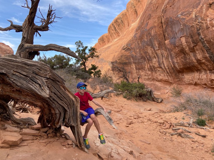
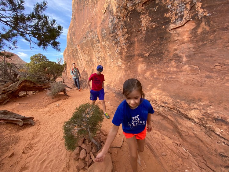
With steep swirling sandstone cliffs and fins and slickrock ledges, an often treacherous climate with wild daily temperature swings, spooky slot canyon systems with flash-flooding risks, tarantulas, scorpions, and rattlesnakes, hiking in the Southwest is no joke. Our lack of familiarity with the climate and terrain (we have done most of our hiking in CT, VT, NH, NY, and ME) made us cautious in what we initially were willing to bite off — we know how our family performs in New England conditions, but we’ve introduced lots of new variables here.
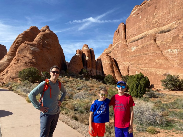
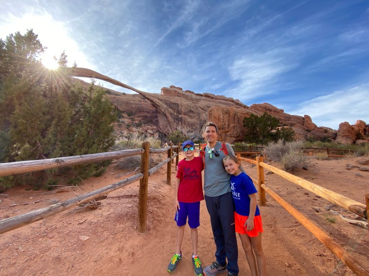
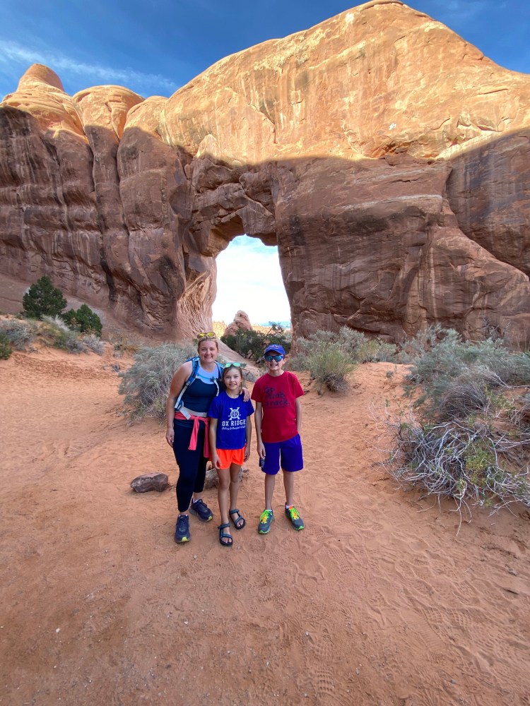
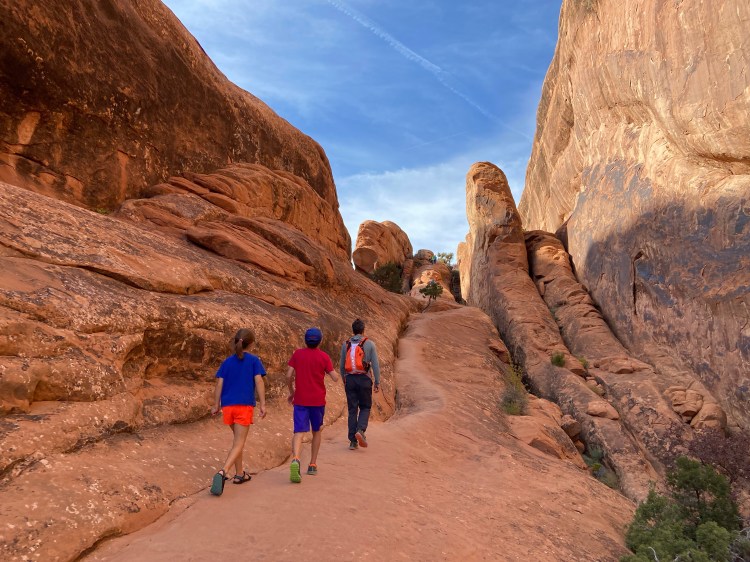
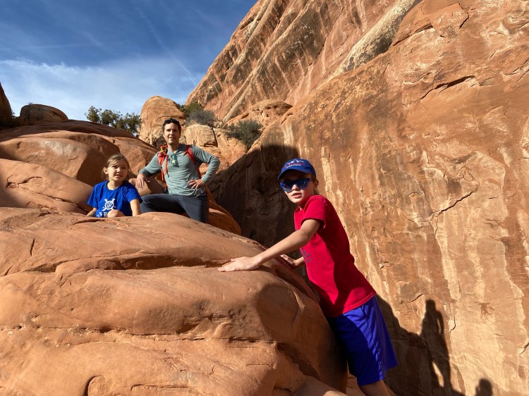
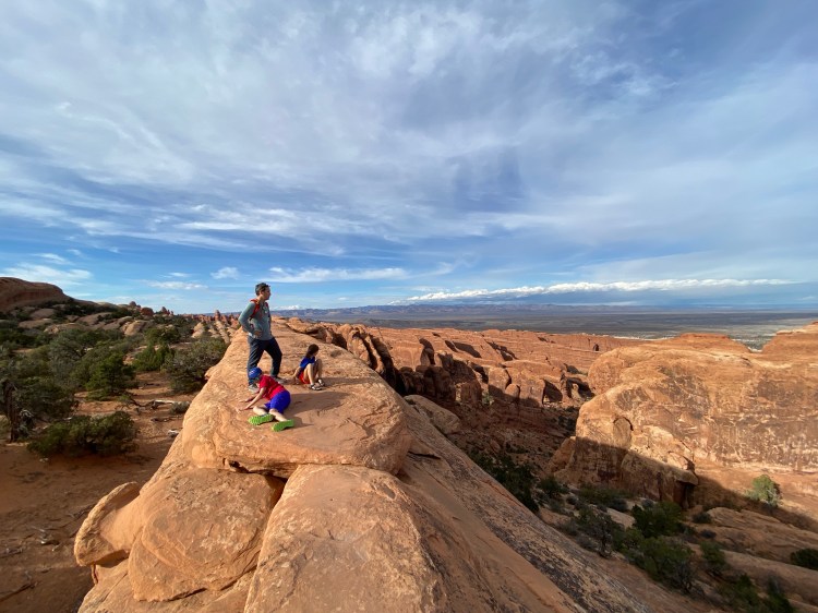
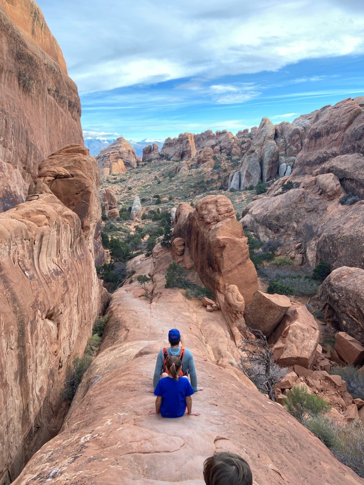
There are several ways you can hike the trails at Devil’s Garden Trailhead. In total, the trails form an approximately 8 mile loop, with some spurs you can venture down to view additional rock formations. A couple miles of that loop are the Primitive Trail, which is rated as difficult; the Park Service says “the obstacles in this segment include difficult route finding, steep slopes, narrow drop-offs, and rock scrambling. Hiking the Primitive Trail requires crossing a pool that may contain water.” Without the Primitive Trail segment, we completed the hike as an out-and-back, with the addition of interesting spurs to see the numerous arches and fins that densely populate this area of the park. The kids had hoped to see the Double O arch formations, but to get to that far point of the out-and-back (leading towards Primitive Trail) we’d have had to traverse a steep, narrow sandstone fin which made the parents increasingly uncomfortable, so we turned back prior to reaching Double O.